
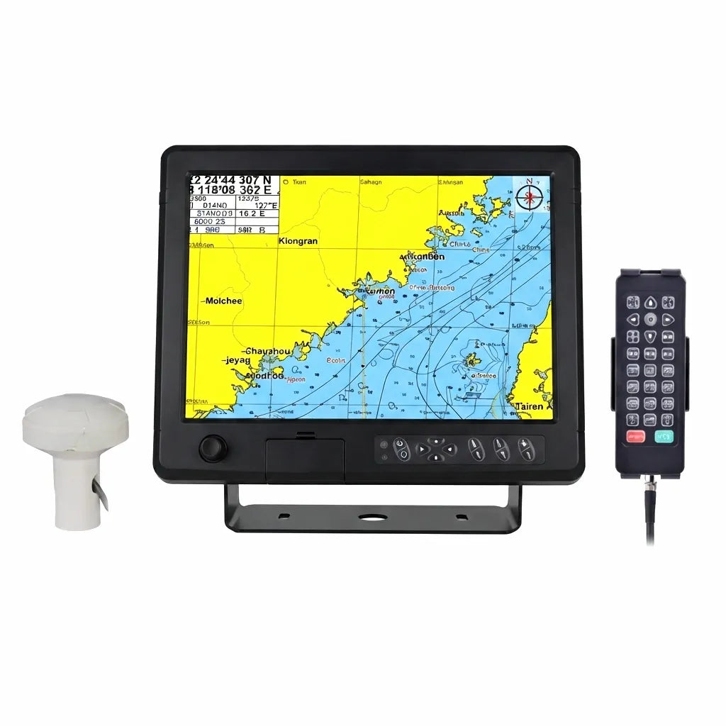
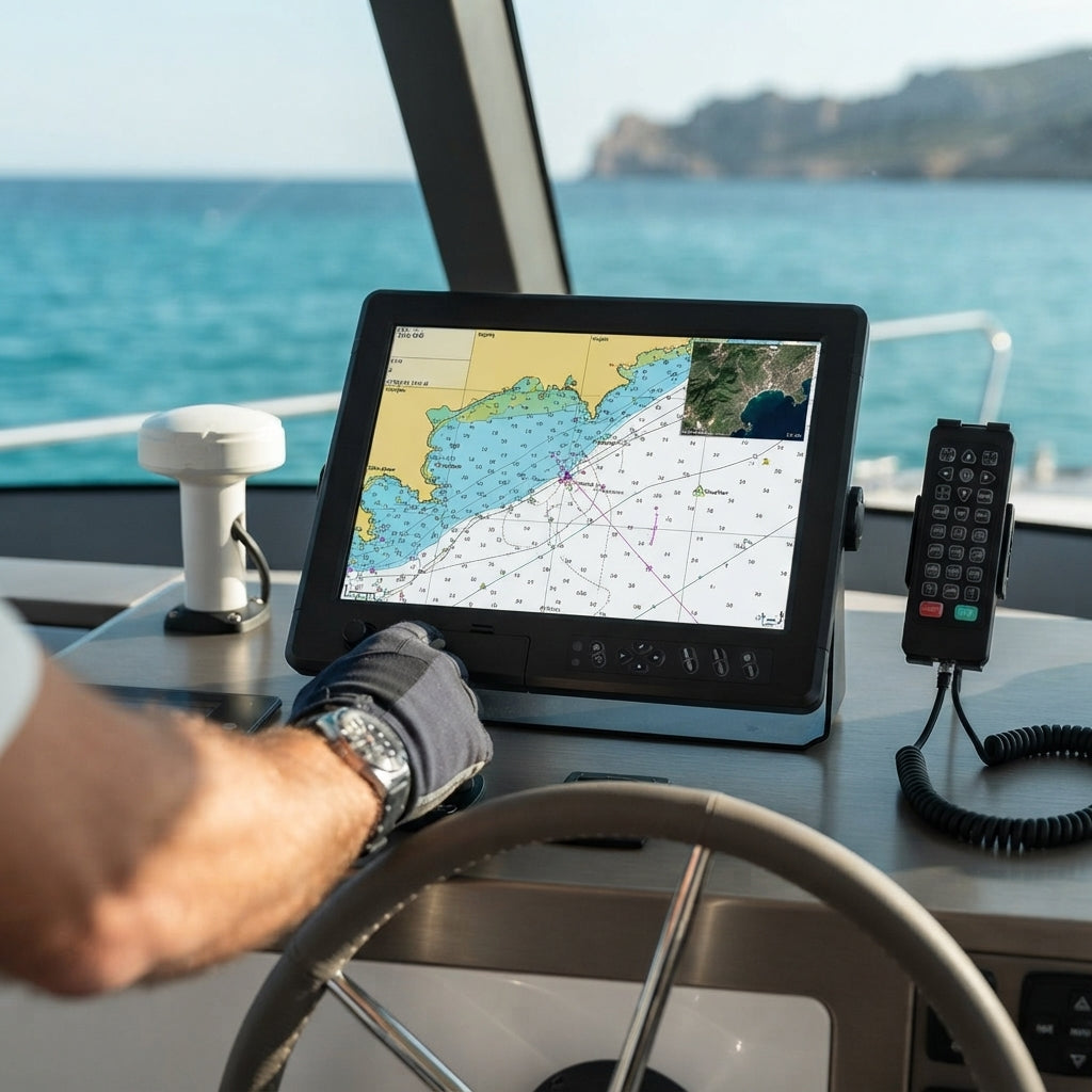
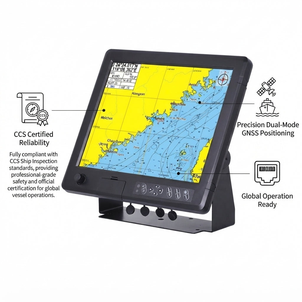
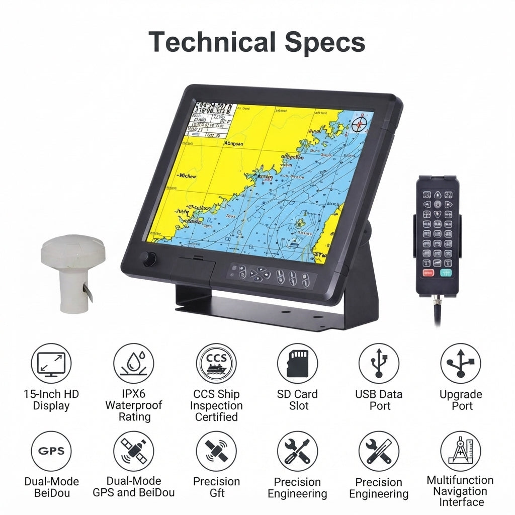
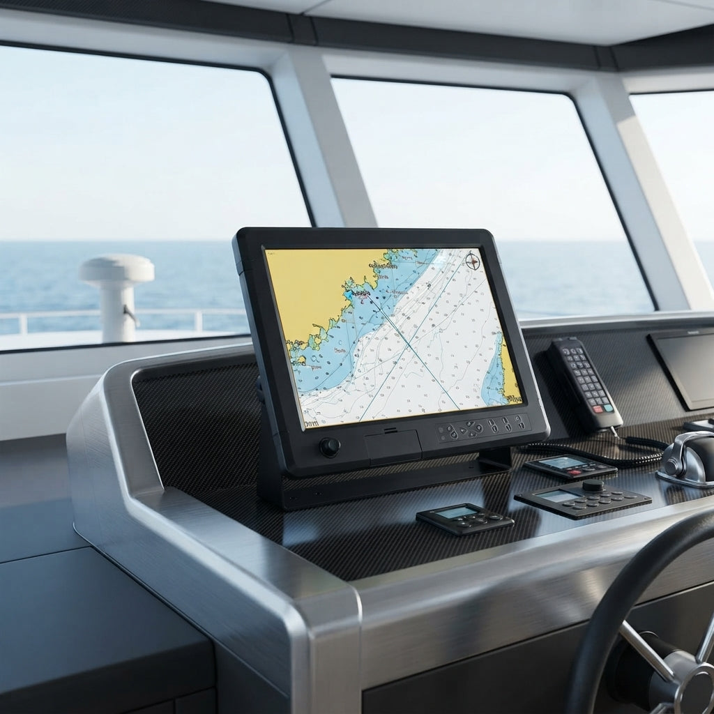
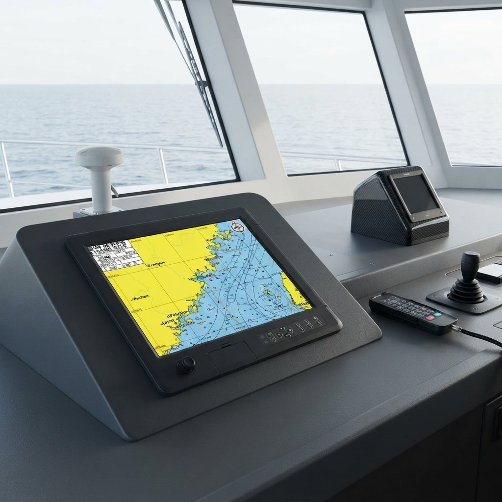
Experience advanced marine navigation with the Airow Marine GN150 15-inch Chart Plotter.
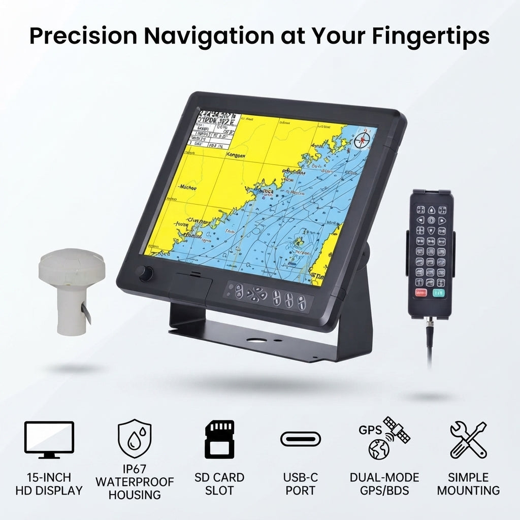
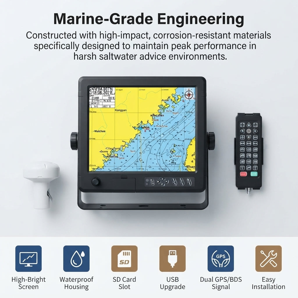
This CCS Certified, professional-grade multifunction display provides unparalleled precision and reliability for all seafarers. Featuring a brilliant 15-inch 1024x768 color TFT LCD with 450cd/㎡ brightness, it ensures crystal-clear visibility even in direct sunlight.
Key Features:
- Dual-Mode Satellite Navigation: Integrated 72-channel GNSS supports both GPS L1 and BeiDou B1 for superior accuracy (2.5m CEP50%).
- Ruggedized & Waterproof: Engineered with an IP65 rating, its robust, UV-stabilized polymer housing withstands the harshest marine environments.
- Comprehensive Charting: Displays standard, simple, full-screen charts, AIS data, navigation data, and 3D navigation modes.
- Extensive Storage: Save 50,000 waypoints, 50,000 marks, 500 routes, and 1,000 tracks (1,600,000 track points).
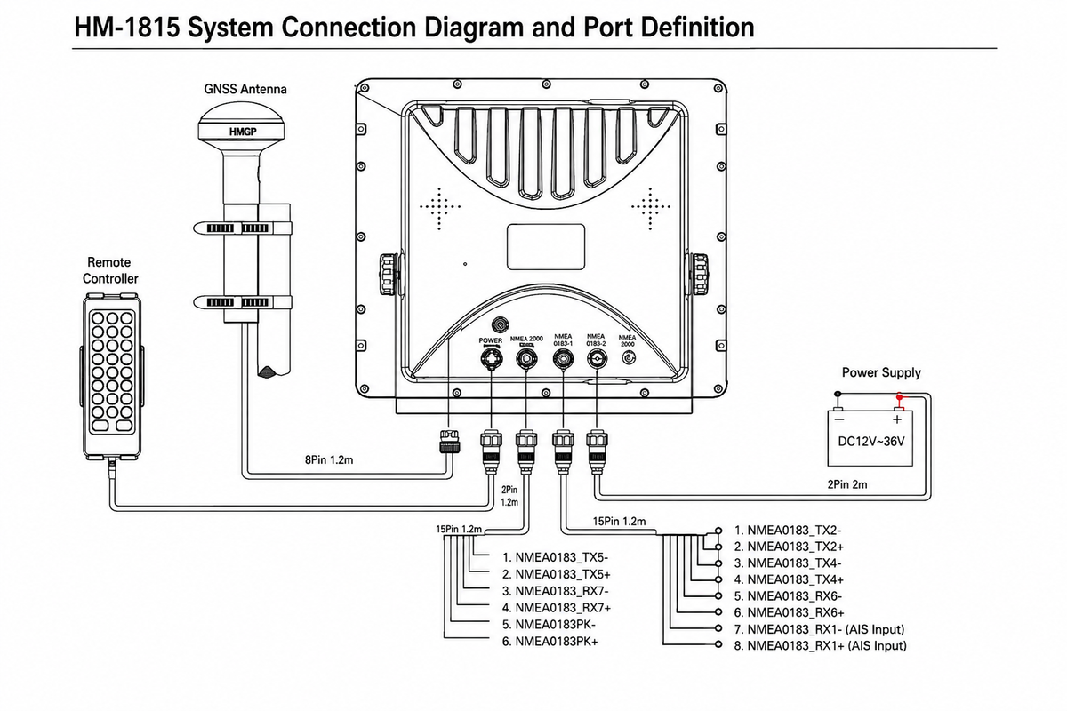
- Seamless Integration: Equipped with three independent NMEA0183 input/output channels and WIFI for versatile connectivity.
- Wide Power Compatibility: Operates on DC 12V~36V, consuming less than 12W @24V.
Ideal for yachts, fishing boats, and commercial vessels, the Airow Marine GN150 delivers a reliable and intuitive command center for your voyages. Its intuitive multilingual interface supports 15 languages. 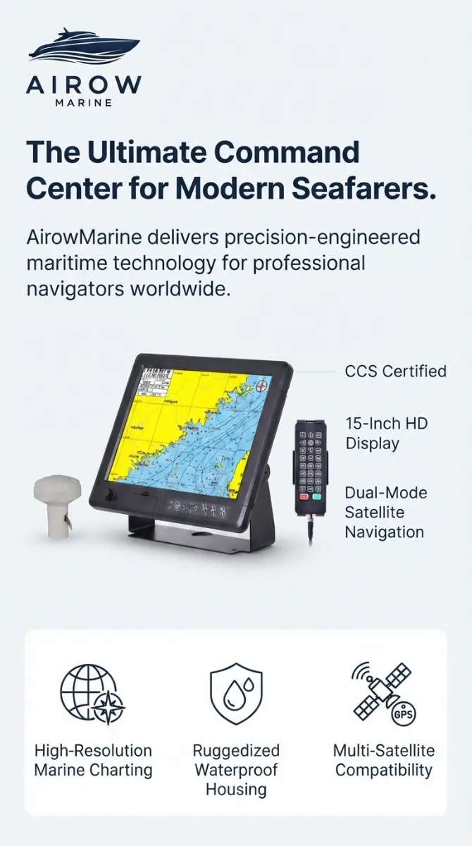
Frequently Asked Questions
- How durable is this chart plotter in harsh marine environments?
- Designed for extreme conditions, the Airow Marine GN150 features an IP65 waterproof rating, indicating full protection against dust ingress and high-pressure water jets from any direction. Its ruggedized, UV-stabilized polymer housing ensures long-term durability against saltwater, sun, and impact, as evidenced by its robust construction visible in the product imagery.
- What kind of navigation accuracy and charting capabilities does the GN150 offer?
- The GN150 provides exceptional navigation with 72-channel GNSS tracking, supporting both GPS L1 and BeiDou B1 frequencies for dual-mode satellite precision. It boasts a position accuracy of 2.5m (CEP50%, open sky) and offers high-resolution marine charting on its 15-inch 1024x768 TFT LCD, with extensive storage for 50,000 waypoints and 1000 tracks, ensuring reliable and detailed navigation.
- Is the installation and integration with existing marine systems straightforward?
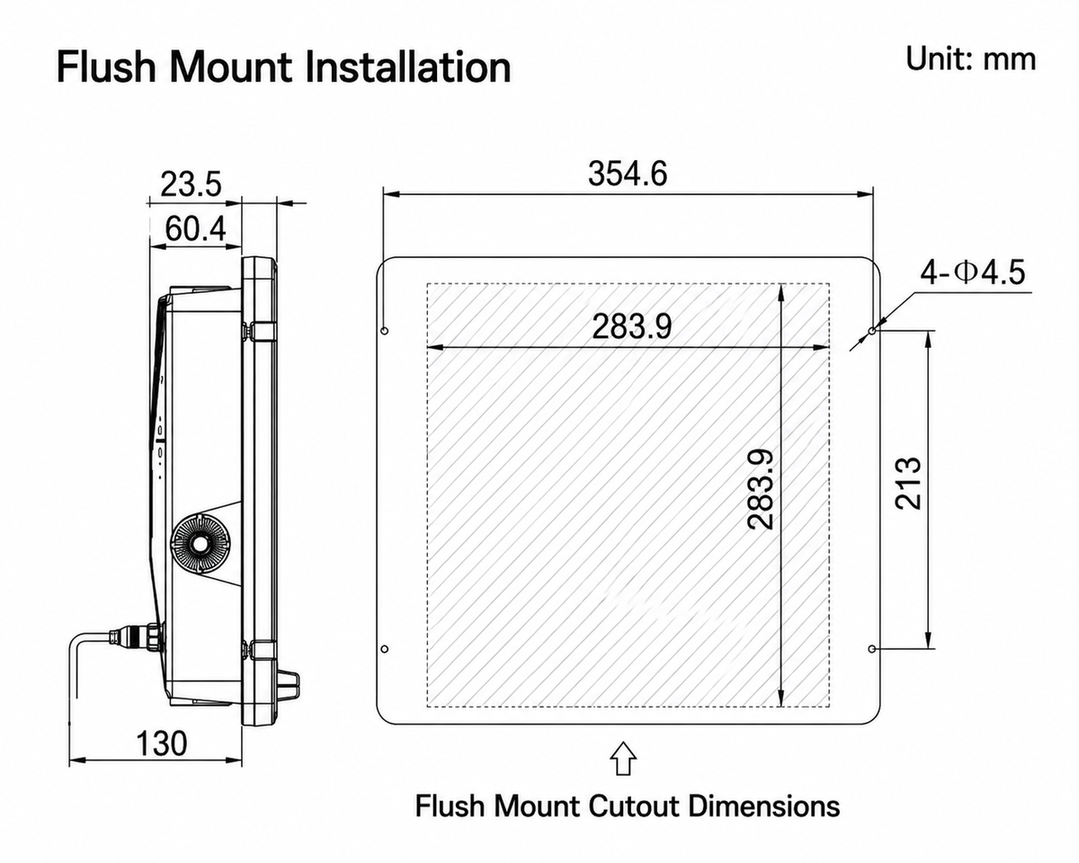
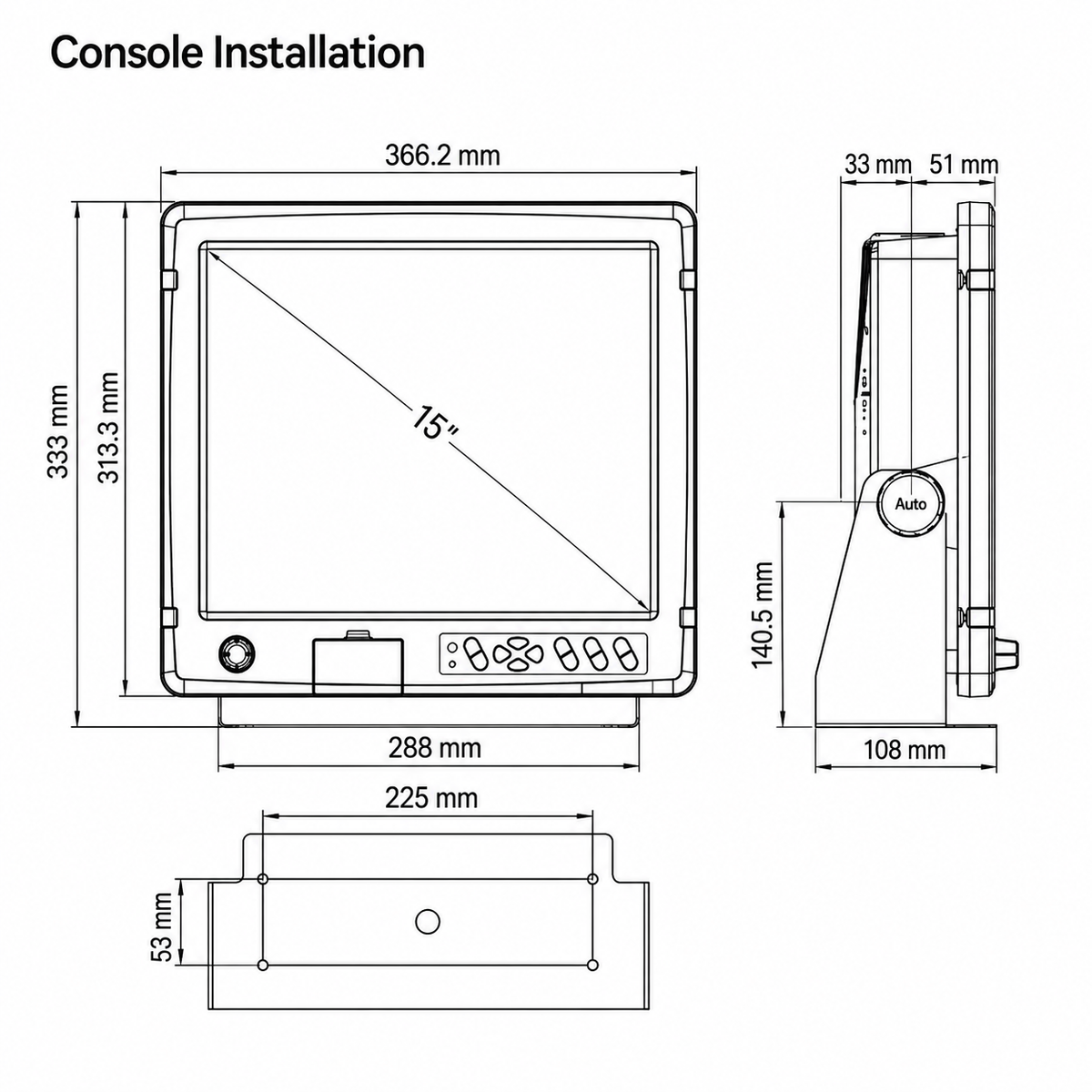
- Installation is streamlined with a flexible DC 12V~36V power input, making it compatible with most vessel power systems. It features three independent NMEA0183 input and output channels with configurable baud rates, allowing seamless integration with various onboard sensors and devices, ensuring universal compatibility and ease of setup for experienced mariners.